
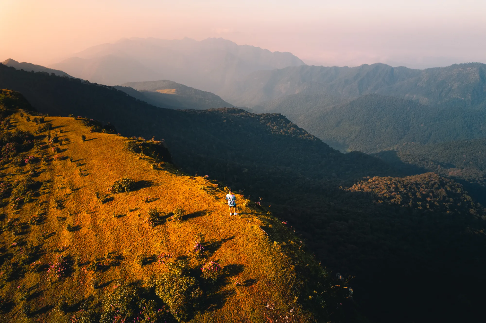
Why see a trek in 3D before you go
Photos show a trek's best view, not its hardest climb. Here's what a 3D map of the route tells you before you go, from where each camp sits to how steep summit day really is.
6 min read →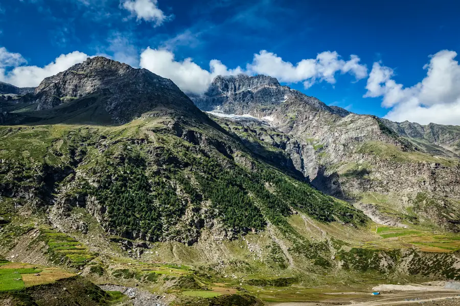
Uttarakhand vs Himachal: where to do your first Himalayan trek
Uttarakhand or Himachal Pradesh for a first Himalayan trek? A side-by-side on season, difficulty, length and height, using 33 treks from the Trekpeek atlas, with picks for winter snow and summer meadows.
7 min read →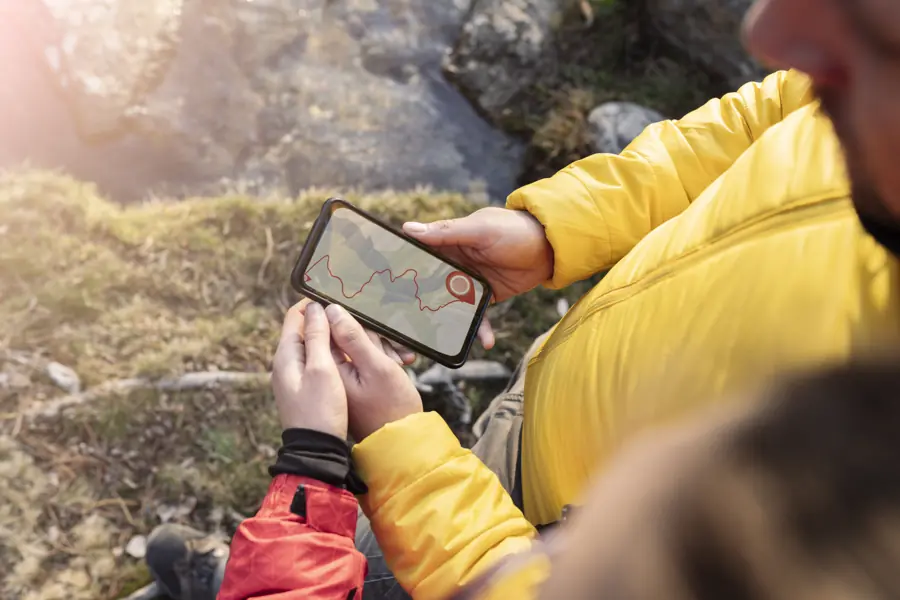
Offline maps for treks in India: what to carry and how to prepare
Phone signal usually disappears soon after the roadhead. How to prepare offline maps, what to save from a 3D trek map before you lose signal, and the navigation basics to carry on Indian treks.
6 min read →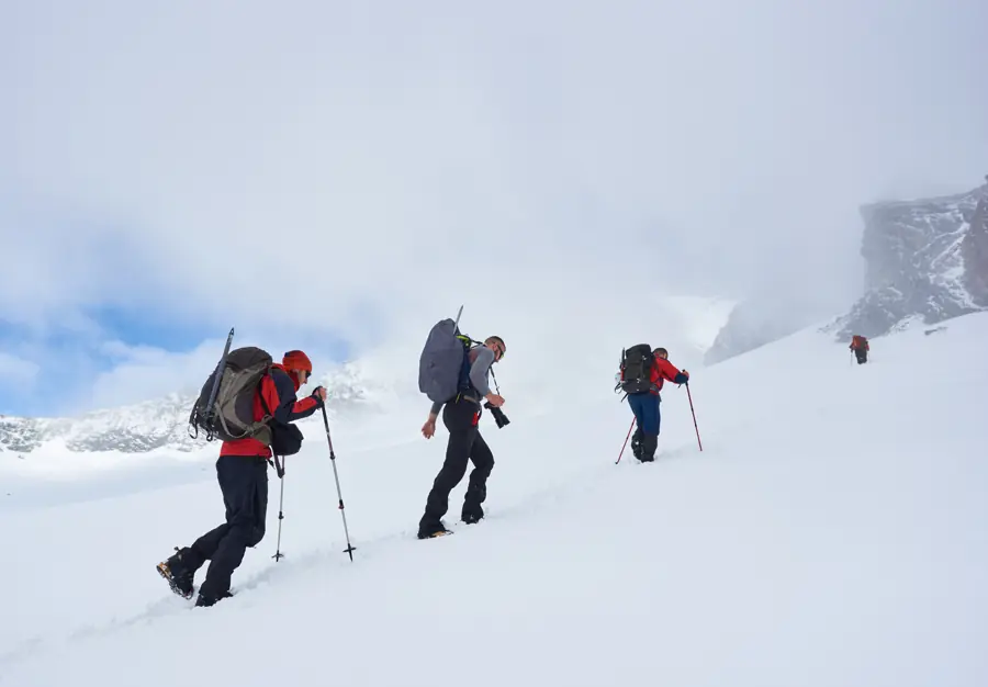
How to read a trek's altitude gain (and plan your days)
The top height is only half the story. How to read daily altitude gain and sleeping altitude on a Himalayan trek, with Kedarkantha as a worked example and the widely used acclimatisation guideline.
7 min read →
How a 3D trek map is made: from satellite data to your screen
The open data behind Trekpeek's 3D treks: elevation from the SRTM radar mission, satellite imagery, OpenStreetMap trails and campsite altitudes, plus what that data can and can't show.
7 min read →